More Atlantic Coast ChartsView full List
Celebrating 15 years family owned, OPERATING IN MAINE, USA
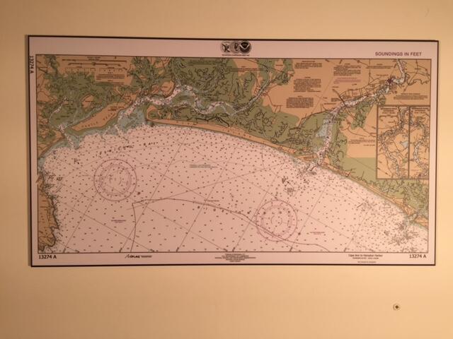
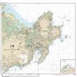
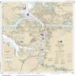
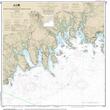
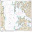
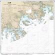
This is one section of a 'small craft' folio chart book, for mariners navigating waters close to shore. The orientation maximizes navigation information and is not necessarily oriented north south.


ARTiPLAQ™ is a family-owned company in Maine providing
exceptional quality custom plaque mounting. Made in the USA.
© ARTiPLAQ™ Terms of Use Privacy Policy