More Great Lakes ChartsView full List
-
14925 - Racine Harbor
-
14961 - Lake Superior (Mercator Projection)
-
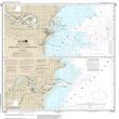
14922 - Manitowoc and Sheboygan
-
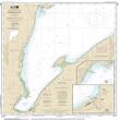
14971 - Keweenaw Bay;L'Anse and Baraga Harbors
-
14993 - Namakan Lake, Eastern Part