More Gulf Coast ChartsView full List
- 11316 - Matagorda Bay and approaches
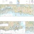
- 11355 - Intracoastal Waterway Catahoula Bay to Wax Lake Outlet including the Houma Navigation canal
- 11391 - St. Andrew Bay
- 11430 - Lostmans River to Wiggins Pass
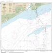
- 11332 - Sabine Bank

