More Pacific Coast ChartsView full List
-
18541 - Columbia River-McNary Dam to Juniper
-
18531 - Columbia River Vancouver to Bonneville; Bonneville Dam
-
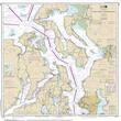
18441 - Puget Sound-northern part
-
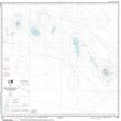
19019 - French Frigate Shoals to Laysan Island
-
18657 - Carquinez Strait