More Pacific Coast ChartsView full List
-
18758 - Del Mar Boat Basin
-
83637 - Johnston Atoll;Johnston Island Harbor
-
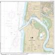
18581 - Yaquina Bay and River;Continuation of Yaquina River
-
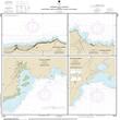
19322 - Harbors and Landings on the Northeast and Southeast Coasts of Hawai'i;Punalu'u Harbor;Honu'apo Bay;Honokaa Landing;Kukuihaele Landing
-
18010 - Monterey Bay to Coos Bay