More Atlantic Coast ChartsView full List
- 13324 - Tibbett Narrows to Schoodic Island
- 25659 - Puerto Maunabo
- 11439 - Sand Key to Rebecca Shoal
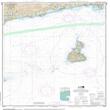
- 13215 - Block Island Sound Point Judith to Montauk Point
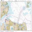
- 12222 - Chesapeake Bay Cape Charles to Norfolk Harbor

