Celebrating 15 years family owned, OPERATING IN MAINE, USA
Connecticut River to Point Judith nautical chart compilation
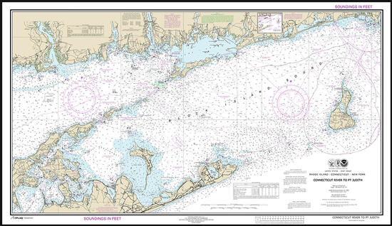
Connecticut River to Point Judith nautical chart compilation
This custom combination nautical chart is a compilation of NOAA charts 12354 and 13217 from the CT River to Point Judith and includes Block Island and eastern sections of Long Island's Two Forks. ARTiPLAQ mounted, no glare and no glass. This compilation chart wall art is not to be used for navigation.
Dimensions:
43 x 25
- We accept:


ARTiPLAQ™ is a family-owned company in Maine providing
exceptional quality custom plaque mounting. Made in the USA.
© ARTiPLAQ™ Terms of Use Privacy Policy